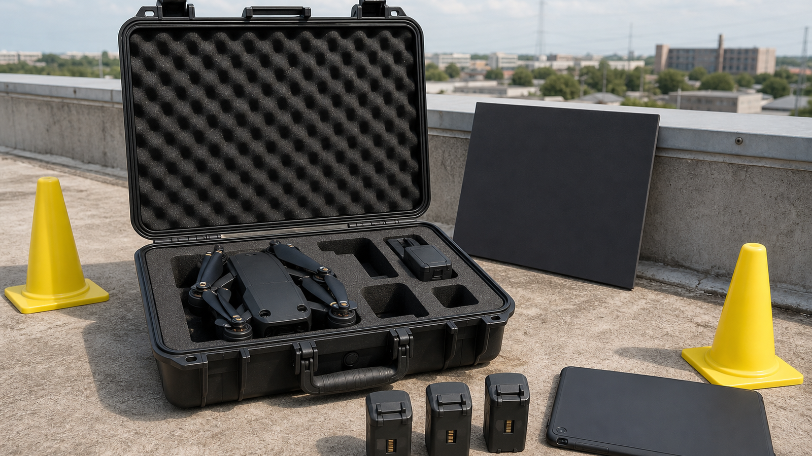
A thermal drone can make inspections faster, but the camera is only part of the job. Roof scans, solar-field checks, building envelopes and utility inspections all depend on planning, weather, flight pattern, operator notes and how the final images are interpreted. A sharper sensor does not rescue a poor field workflow.
The FAA’s drone resources define the regulatory starting point for UAS operations in the United States. FLIR’s public thermal-imaging education explains basic concepts behind thermal cameras, while enterprise drone makers such as DJI position thermal payloads for inspection work. Together, those sources make the TVG point clear: safe operation, thermal understanding and data workflow have to line up.
Plan the inspection before takeoff
The mission should define what the operator is trying to find before the aircraft is powered on. A roof-moisture check, solar-panel survey and electrical inspection do not need the same image pattern or deliverable. Flight altitude, overlap, camera angle and notes should match the question being asked.
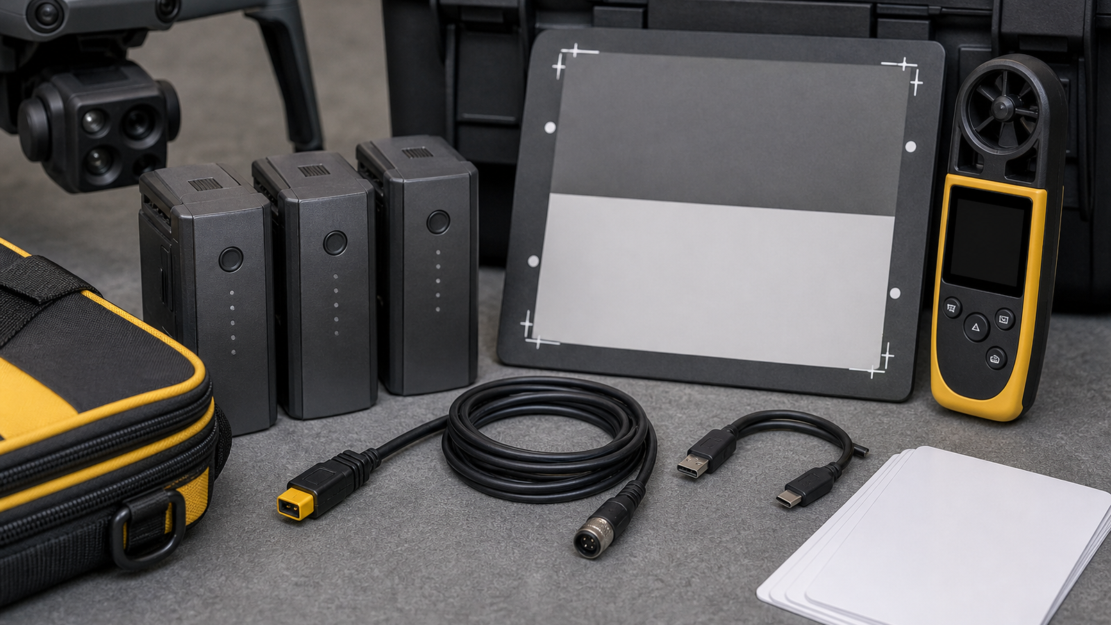
Thermal imaging also depends on assumptions. Different materials emit and reflect heat differently, and sun, wind, recent rain and operating load can change what the camera sees. That does not make thermal drones unreliable; it means the field notes matter. A useful report should record conditions, timing and any reference checks, not only export attractive images.
Turn images into a usable deliverable
Field teams should decide how images will be named, grouped and reviewed before the job starts. If a client or maintenance team cannot connect an anomaly to a location, the inspection loses value. A map, grid, roof zone, asset ID or repeatable route can make the difference between a technical image set and a serviceable finding.
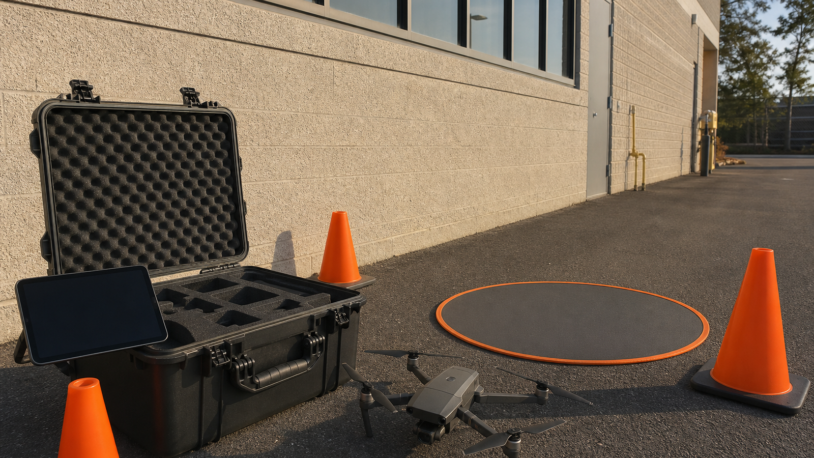
- Check rules first: airspace, permissions, pilot requirements and site safety come before image goals.
- Record conditions: time, weather, recent sunlight, surface material and operating state affect interpretation.
- Keep overlap consistent: poor coverage creates blind spots and makes comparison harder.
- Name files deliberately: location metadata and route notes matter during review.
- Separate finding from diagnosis: thermal anomalies may require follow-up inspection before repair decisions.
Back at the desk
The review workflow should preserve context. Keep the visible image, thermal image, route notes and location reference together. If the software exports a map or report, verify that the finding still matches the original frame and that the temperature scale has not been interpreted as a diagnosis by itself.
That caution matters for small teams entering inspection work. A thermal anomaly can justify follow-up, but it should not be presented as a guaranteed failure without supporting evidence. TVG would rather see a modest, repeatable report than an impressive-looking folder of images that overstates what the sensor can prove.
A simple QA step is to have someone who was not at the site open the report and identify the asset, location and recommended follow-up from the exported material alone. If they cannot do that, the field workflow needs better naming, route notes or reference images before the next job.
TVG Take
Drone thermal inspection is strongest when it is treated as a measurement workflow. The aircraft, camera, pilot, environment and report format all shape the result. For creator-field teams and inspection contractors, the readiness question is not only which drone to buy; it is whether the team can repeat the mission and explain the data without overclaiming what the image proves.
Related TVG reading: drone photogrammetry overlap and field planning.